Our Services
With a team of highly skilled engineers, designers, and project managers, we specialize in providing comprehensive solutions tailored to meet the unique needs of each client.
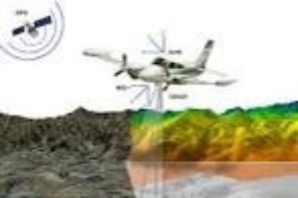
Arieal and Lidar Survey
VKSMS specializes in aerial and LiDAR data acquisition and offer comprehensive services encompassing planning, data acquisition, processing, analysis,
Asset Survey and Updates
VKSMS has a vast expertise in conducting GPS and DGPS based asset survey and transfer into the GIS Platform. Asset surveys are conducted by organizations
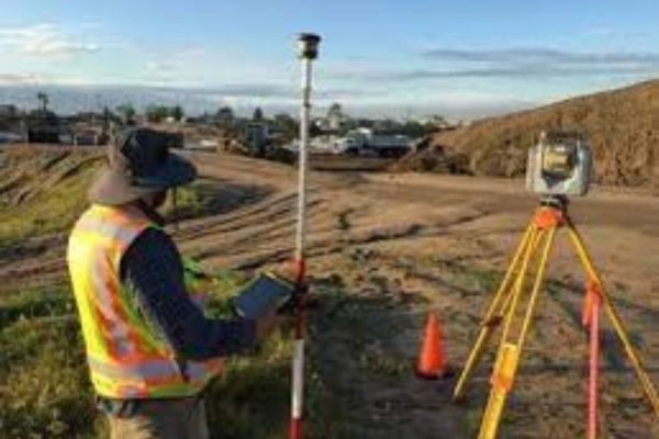
Field Surveys
Field surveys play a pivotal role in the planning, design, and construction phases of infrastructure projects, particularly in the realm of roads, highways,
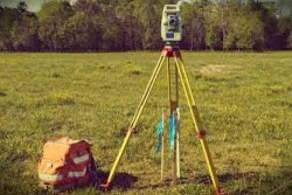
Ground Surveys
ETS/ DGPS- Our surveyors possess the expertise to conduct GPS and DGPS surveys for GIS mapping ensuring high levels of location accuracy. We conduct Ground surveys
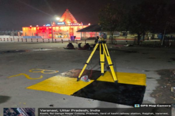
Ground control Network Establishment
Digital mapping involves the creation, analysis, and visualization of geographic information using digital technologies.
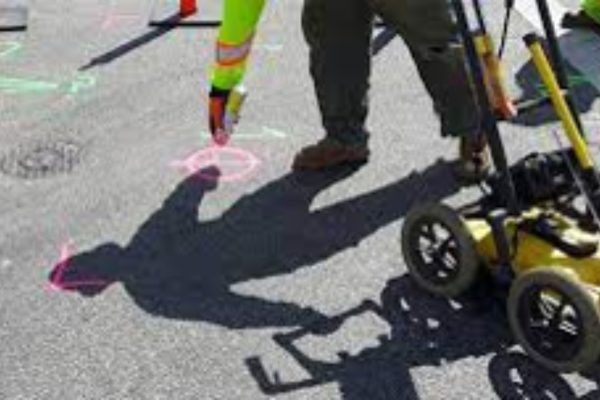
Utility Surveys
VKSMS specializes in overseeing the balance of demand and supply for utility services, ensuring their efficient management and maintenance. In today’s digital age,
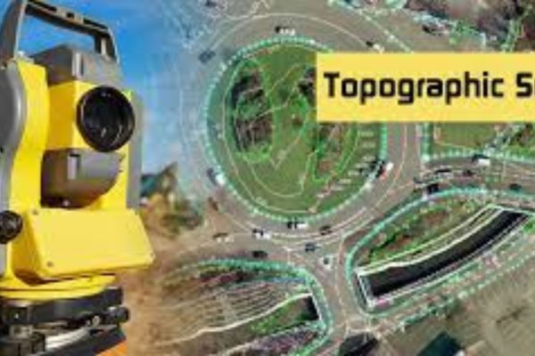
Topographical Surveys
VKSMS knows that Topographical surveying is a crucial aspect of land surveying that involves mapping and representing the natural and man-made features of a piece of land.
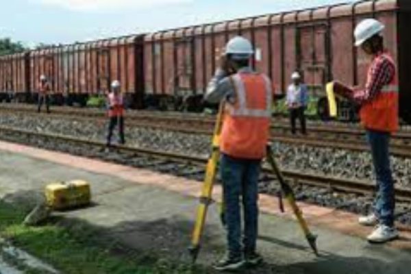
Road, Railways, Alignment Surveys
At VKSMS we understand that Expertise in road and railway alignment survey is a critical aspect of infrastructure development.
Hydrographic Surveys
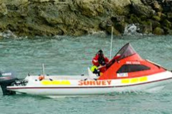
Expertise in hydrographic surveying is crucial for mapping and charting underwater features of bodies of water, such as rivers, lakes, and oceans. Hydrographic surveyors
Storm Water Drainage Surveys
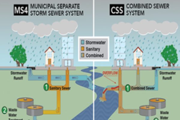
Stormwater drainage surveys is essential for assessing, designing, and managing drainage systems to mitigate the impacts of stormwater runoff.
Grid Surveys
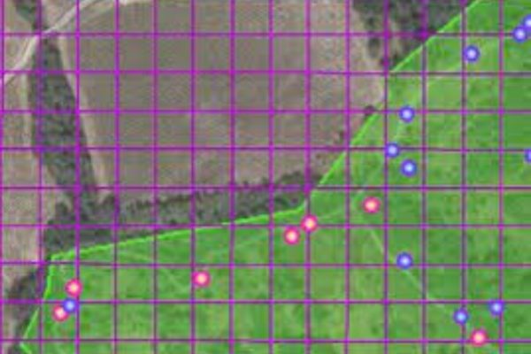
A grid survey is a type of land surveying method that involves dividing a specific area into a grid of smaller, manageable units for the purpose of data collection and mapping.
Detailed Town Planning Surveys
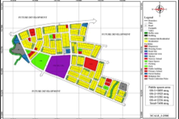
Detailed town planning surveys play a critical role in urban development and land-use planning. These surveys involve comprehensive data
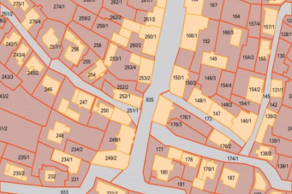
Cadastral Surveys
A cadastral survey is a specialized type of land survey that involves the measurement and demarcation of land parcels for the purpose of creating and maintaining a cadastre.
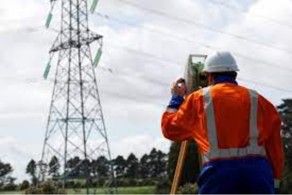
Transmission Line Surveys
A transmission line survey involves the planning, mapping, and measurement activities necessary for the design, construction, and maintenance of electrical transmission lines.
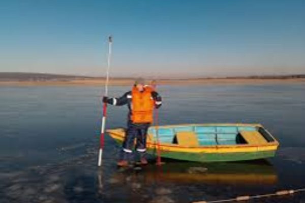
River & Reservoir Study Survey
A river and reservoir study survey involves a comprehensive examination of water bodies, such as rivers and reservoirs, to gather essential data
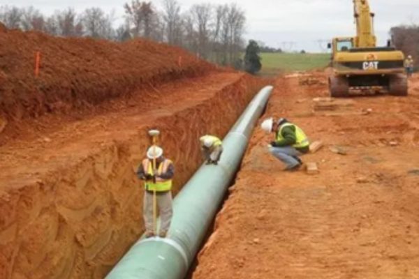
Pipeline, Canal route study & alignment Survey
A pipeline and canal route study, including alignment survey, involves a detailed examination of the terrain to determine the optimal path for constructing pipelines or canals.
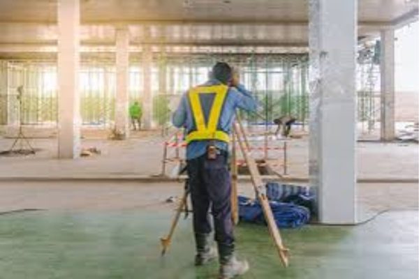
As-built survey
An as-built survey is a detailed and accurate measurement and documentation of a constructed project or facility as it is completed. This survey provides a record of the actual dimensions, locations, utilities,
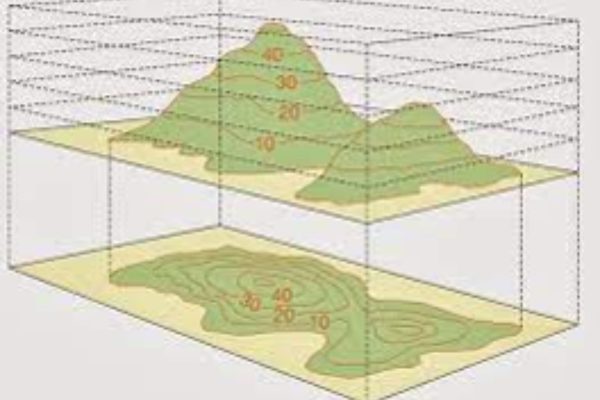
Contour Survey
A contour survey, also known as a topographic survey, is a type of land survey that focuses on mapping the elevation changes of the land’s surface. This survey produces contour lines,
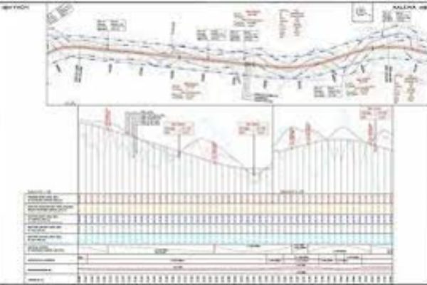
L-Section & Cross-Section Surveys
L-section and cross-section surveys are specific types of land surveys that focus on providing detailed information about the vertical profiles of the terrain.
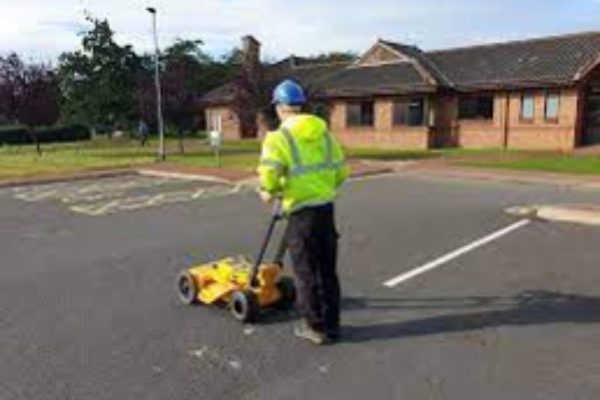
GPR
Ground Penetrating Radar (GPR) survey is a geophysical technique that uses radar pulses to image the subsurface. It is widely employed for various applications,
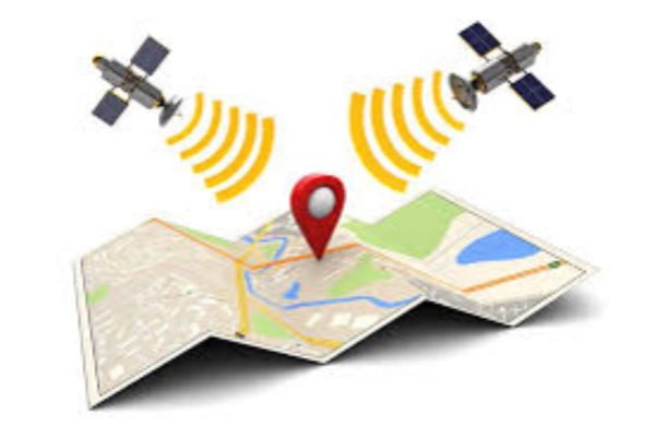
Digital Mapping
Digital mapping involves the creation, analysis, and visualization of geographic information using digital technologies. It has transformed the way we view and interact with spatial data.
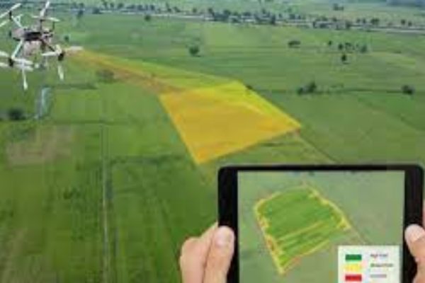
Survey & Infrastructure Mapping
Survey and infrastructure mapping involve the use of geospatial technologies and surveying methods to collect, analyze, and represent data related to the physical environment and infrastructure.
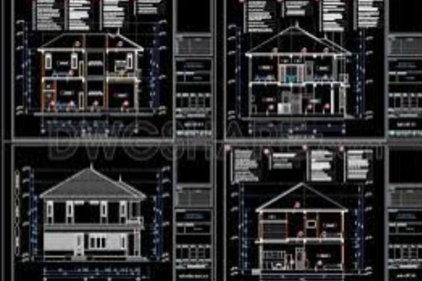
Auto Cad Drawing
AutoCAD (Computer-Aided Design) is a widely used software application for creating 2D and 3D drawings and models. It is commonly employed in various industries, including architecture, engineering, construction, and manufacturing.
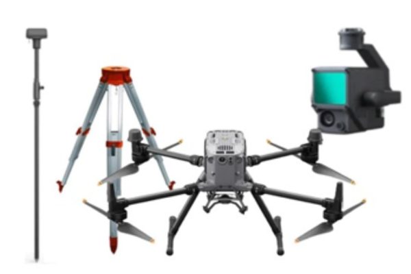
Providing Survey Teams & Instrument of Hire
Providing survey teams and instrument hire involves offering services related to land surveying by supplying skilled survey personnel and renting out surveying instruments and equipment. This type of service is often

