Best Service
Best Service
0
+
Years Of Experience
0
+
Client Satisfaction

At VKSMS- Vinod Kumar Survey and Mapping Solutions, our mission is to contribute to the creation of a more prosperous working world. Through our insightful services, we strive to instill trust and confidence in global capital markets and economies. As a leading survey company based in India
“Engineering Tomorrow’s Landscapes, Today.”
Vinod Kumar – CEO VKSMS
We’re more than just engineers; we’re innovators, problem-solvers, and collaborators dedicated to pushing the boundaries of what’s possible. Established in 2020, we have been at the forefront of engineering excellence, dealing in the sectors of Civil Engineering and Construction Project Management Services such as Transportation, Water, Urban & Industrial Development, Traffic Survey & Analysis, Research Studies and Environmental & Social Impact Assessment Studies and delivering cutting-edge solutions to clients worldwide.
With a team of highly skilled engineers, designers, and project managers, we specialize in providing comprehensive solutions tailored to meet the unique needs of each client.
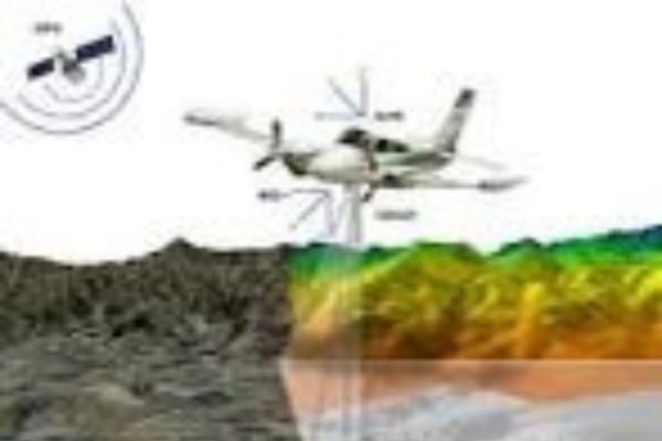
VKSMS specializes in aerial and LiDAR data acquisition and offer comprehensive services encompassing planning, data acquisition, processing, analysis,
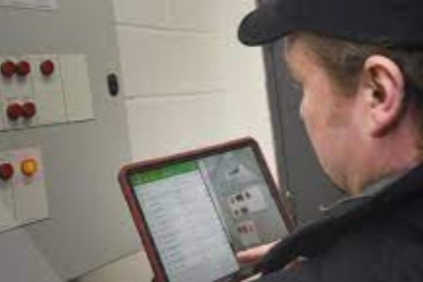
VKSMS has a vast expertise in conducting GPS and DGPS based asset survey and transfer into the GIS Platform. Asset surveys are conducted by organizations
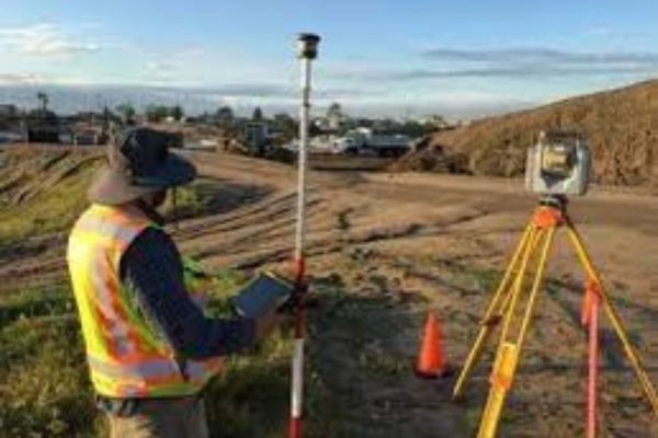
Field surveys play a pivotal role in the planning, design, and construction phases of infrastructure projects, particularly in the realm of roads, highways, and bridges.
At VKSMS we provide field survey practices tailored to the needs of specific clients/ projects. This includes
Field surveys play a pivotal role in the planning, design, and construction phases of infrastructure projects, particularly in the realm of roads, highways, and bridges.
Explore our latest projects, where cutting-edge innovation meets excellence, designed to redefine industry standards.
A grid survey is a type of method dividing a specific area grid into smaller units
Contour Survey focus on mapping the elevation changes of land's surface.


VKSMS specializes in overseeing the balance of demand and supply for utility services, ensuring their efficient management and maintenance. In today’s digital age, our expertise lies in conducting thorough surveys to enhance accuracy, particularly in identifying overground and underground assets during HT and LT surveys, essential for long-term planning of utility services. Utility surveys are critical assessments conducted to identify and map underground utilities such as gas, water, electricity, telecommunications, and sewer lines. We use advanced technologies like ground-penetrating radar (GPR), electromagnetic locators, and GPS to accurately detect and map the precise locations of buried infrastructure. By providing essential information to construction projects, urban planning, and infrastructure maintenance, by conducting utility surveys we help prevent costly damages, ensure safety, and streamline development processes.
VKSMS specializes in aerial and LiDAR data acquisition and offer comprehensive services encompassing planning, data acquisition, processing, analysis, and deliverables, aimed at delivering accurate, actionable geospatial information to support a wide range of applications and industries. This typically involves the collection of aerial imagery and LiDAR (Light Detection and Ranging) data for various purposes such as mapping, surveying, urban planning, environmental monitoring, and infrastructure development. Our customer centric approach helps organizations to realize the potential of spatial data and its associated benefits. VKSMS offers the following services
Providing survey teams and instrument hire involves offering services related to land surveying by supplying skilled survey personnel and renting out surveying instruments and equipment. This type of service is often sought after by construction companies, engineering firms, land developers, and other organizations that require professional surveying expertise for their projects. Here are key aspects related to providing survey teams and instrument hire:
Providing survey teams and instrument hire requires a comprehensive understanding of surveying techniques, equipment, and project requirements. A commitment to quality, accuracy, and client satisfaction is essential for success in this service-oriented business. Continuous training, staying updated on technological advancements, and maintaining a reliable inventory of survey instruments contribute to a reputable survey service provider.
AutoCAD (Computer-Aided Design) is a widely used software application for creating 2D and 3D drawings and models. It is commonly employed in various industries, including architecture, engineering, construction, and manufacturing. Here are key aspects related to AutoCAD drawings:
Survey and infrastructure mapping involve the use of geospatial technologies and surveying methods to collect, analyze, and represent data related to the physical environment and infrastructure. This process is crucial for urban planning, construction projects, infrastructure management, and various other applications. Here are key aspects related to expertise in survey and infrastructure mapping:
Digital mapping involves the creation, analysis, and visualization of geographic information using digital technologies. It has transformed the way we view and interact with spatial data, providing a versatile platform for mapping, analysis, and decision-making. Here are key aspects related to expertise in digital mapping:
Ground Penetrating Radar (GPR) survey is a geophysical technique that uses radar pulses to image the subsurface. It is widely employed for various applications, including utility detection, geological investigations, environmental assessments, and archaeological studies. Here are key aspects related to expertise in GPR survey:
Instrument Operation:
Proficiency in operating GPR equipment, understanding its features, and adjusting settings based on survey requirements.
Selecting appropriate antennas and frequencies for the specific subsurface conditions and survey objectives.
Survey Planning and Design:
Planning and designing GPR surveys based on project goals, site characteristics, and the depth of investigation required.
Determining survey grid spacing, traverse lines, and data acquisition parameters.
Data Collection:
Conducting systematic data collection by moving the GPR equipment along predetermined survey lines.
Ensuring consistent data coverage and overlap for comprehensive subsurface imaging.
Interpretation of GPR Data:
Expertise in interpreting GPR data to identify subsurface features, anomalies, and potential targets.
Distinguishing between different materials and providing insights into the geological or structural composition of the subsurface.
Depth Estimation:
Estimating the depth of subsurface features based on GPR signal penetration and attenuation.
Considering factors such as soil conductivity and signal frequency in depth assessments.
Utility Detection:
Specialized knowledge in using GPR for utility detection and mapping of underground infrastructure.
Identifying and locating utilities such as pipes, cables, and conduits in a non-destructive manner.
Geological and Environmental Applications:
Applying GPR in geological investigations, including bedrock profiling, fault detection, and sediment characterization.
Utilizing GPR for environmental studies such as groundwater mapping, contaminant plume delineation, and subsurface void detection.
Archaeological Surveys:
Conducting GPR surveys for archaeological purposes, including the detection of buried structures, artifacts, and archaeological features.
Collaborating with archaeologists to uncover subsurface historical information.
Advanced Data Processing:
Expertise in advanced data processing techniques, including time-slice analysis, migration, and filtering, to enhance GPR data quality.
Implementing data processing methods to improve the visualization of subsurface structures.
Integration with Other Technologies:
Integrating GPR survey data with other geophysical methods or technologies for a more comprehensive subsurface analysis.
Collaborating with professionals in complementary fields to enhance survey outcomes.
Report Generation and Documentation:
Producing detailed reports summarizing GPR survey findings, including data interpretation, maps, and recommendations.
Providing clear and concise documentation for clients, stakeholders, and regulatory compliance.
Quality Assurance and Quality Control:
Implementing rigorous quality assurance and quality control measures during GPR surveys to ensure data accuracy and reliability.
Verifying the calibration and performance of GPR equipment before and during surveys.
Safety Protocols:
Adhering to safety protocols during GPR surveys to ensure the well-being of survey personnel and others on-site.
Complying with safety regulations and guidelines for working with electromagnetic radiation.
Continuous Professional Development:
Staying informed about advancements in GPR technology, software, and methodologies through continuous learning and professional development.
Incorporating the latest industry standards and best practices into survey workflows.
Expertise in GPR surveying requires a combination of theoretical knowledge, practical skills, and experience in diverse applications. Surveyors with proficiency in GPR contribute significantly to subsurface investigations and non-destructive mapping in various fields
L-section and cross-section surveys are specific types of land surveys that focus on providing detailed information about the vertical profiles of the terrain. These surveys are commonly used in civil engineering, construction, and infrastructure projects to understand the ground elevation changes along a designated path. Here are key aspects related to expertise in L-section and cross-section surveys:
Objective of the Survey:
L-section and cross-section surveys play a crucial role in infrastructure projects, providing essential information for earthwork calculations, design optimization, and ensuring that construction aligns with the natural terrain. Expertise in these surveys requires a combination of surveying skills, engineering knowledge, and proficiency in data analysis and visualization.
A contour survey, also known as a topographic survey, is a type of land survey that focuses on mapping the elevation changes of the land’s surface. This survey produces contour lines, which are lines connecting points of equal elevation on the terrain. Contour surveys are essential for various purposes, including land development, engineering design, environmental assessment, and landscape planning. Here are key aspects related to expertise in contour surveys:
A) Surveying Instruments:
B) Grid Establishment:
C) Field Data Collection:
D) Contour Line Generation:
E) Mapping Natural Features:
F) Land Slope Analysis:
G) Cut and Fill Calculations:
H) 3D Modeling:
J) GIS Integration:
K) Floodplain Mapping:
L) Communication with Stakeholders:
M) Environmental Impact Assessment:
An as-built survey is a detailed and accurate measurement and documentation of a constructed project or facility as it is completed. This survey provides a record of the actual dimensions, locations, and configurations of structures, utilities, and other components compared to the original design or plans. Here are key aspects related to expertise in as-built surveys:
As-built surveys are essential for maintaining accurate records, supporting future maintenance or renovations, and ensuring that constructed projects align with design intent. Expertise in as-built surveys involves a combination of surveying skills, attention to detail, communication, and compliance with industry standards and regulations.
A pipeline and canal route study, including alignment survey, involves a detailed examination of the terrain to determine the optimal path for constructing pipelines or canals. This type of survey is critical for planning, designing, and implementing efficient and sustainable infrastructure projects. Here are key aspects related to expertise in pipeline and canal route study, including alignment survey:
A) Route Selection:
B) Topographic Surveying:
C) Geotechnical Investigations:
D) Hydraulic Analysis:
E) Environmental Impact Assessment:
F) Utility Coordination:
G) Identifying and mapping underground utilities to prevent interference during construction.
H) Regulatory Compliance:
J) Geospatial Analysis:
K) Alignment Optimization:
L) Risk Assessment:
A river and reservoir study survey involves a comprehensive examination of water bodies, such as rivers and reservoirs, to gather essential data for various purposes, including water resource management, environmental conservation, and infrastructure planning. Here are key aspects related to expertise in river and reservoir study surveys:
A) Hydrographic Surveying:
B) Flow Analysis:
C) Sediment Transport and Morphology:
D) Water Quality Sampling:
E) Ecological Surveys:
F) Floodplain Mapping:
G) Reservoir Volume Calculations:
H) Dam Safety Surveys:
J) Climate Change Impact Assessment:
A transmission line survey involves the planning, mapping, and measurement activities necessary for the design, construction, and maintenance of electrical transmission lines. These surveys are crucial in ensuring the efficient and safe transmission of electrical power across long distances. Here are key aspects related to expertise in transmission line surveys:
A cadastral survey is a specialized type of land survey that involves the measurement and demarcation of land parcels for the purpose of creating and maintaining a cadastre. A cadastre is a comprehensive and systematic register of land information, including details about land ownership, boundaries, and land use. Cadastral surveys are crucial for establishing property rights, facilitating land transactions, and supporting effective land management. Here are key aspects related to expertise in cadastral surveys:
A) Legal and Regulatory Knowledge:
B) Boundary Determination:
C) Land Parcel Subdivision:
Cadastral surveys are fundamental for establishing a well-functioning land administration system, ensuring secure property rights, and supporting sustainable land development. The expertise of cadastral surveyors is vital in maintaining accurate and up-to-date cadastral information, facilitating land transactions, and promoting responsible land management practices.
Detailed town planning surveys play a critical role in urban development and land-use planning. These surveys involve comprehensive data collection and analysis to inform the planning and design of towns and cities. Here are key aspects related to expertise in detailed town planning surveys:
A grid survey is a type of land surveying method that involves dividing a specific area into a grid of smaller, manageable units for the purpose of data collection and mapping. The grid serves as a reference framework, and surveyors collect various types of information within each grid cell. Grid surveys are commonly used in both urban and rural settings for a variety of applications. Here are key aspects related to grid surveys:
A) Grid Establishment:
B) Data Collection:
Stormwater drainage surveys is essential for assessing, designing, and managing drainage systems to mitigate the impacts of stormwater runoff. Here are key aspects of expertise in stormwater drainage surveys:
Expertise in hydrographic surveying is crucial for mapping and charting underwater features of bodies of water, such as rivers, lakes, and oceans. Hydrographic surveyors use specialized techniques and equipment to gather data for navigation, environmental assessment, and various marine-related activities. Here are key aspects of expertise in hydrographic survey:
Hydrographic surveyors play a vital role in ensuring safe navigation, environmental protection, and the sustainable use of marine resources. Their expertise is essential for supporting various marine-related industries and activities.
At VKSMS we understand that Expertise in road and railway alignment survey is a critical aspect of infrastructure development. Hence while undertaking such assignments we ensure to follow the points mentioned below:-
Expertise in road and railway alignment survey involves a combination of technical skills, collaboration, and adherence to industry standards. Professionals in this field play a crucial role in the successful planning and execution of transportation infrastructure projects.
VKSMS knows that Topographical surveying is a crucial aspect of land surveying that involves mapping and representing the natural and man-made features of a piece of land. Hence we take extra care to ensure the accurate details are captured by :-
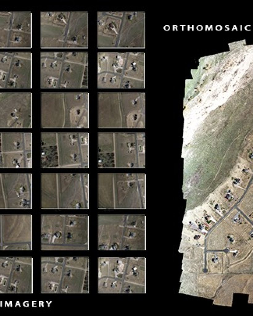
VKSMS has been managing the land revenue projects necessitating the acquisition of new tasking resolution aerial and satellite imagery. Additionally, we’ve focused on establishing a Ground Control Network, ensuring its comprehensiveness and documentation for every point. Ground control network establishment is a critical component of space missions, facilitating communication and tracking of spacecraft. It involves the deployment and synchronization of ground stations strategically positioned around the globe to ensure continuous coverage. We establish a robust ground control network which is requires careful planning, coordination, and integration of advanced technologies to maintain seamless communication with spacecraft, regardless of their position in orbit.
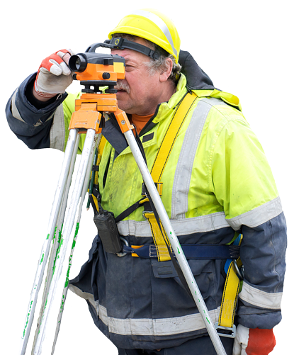
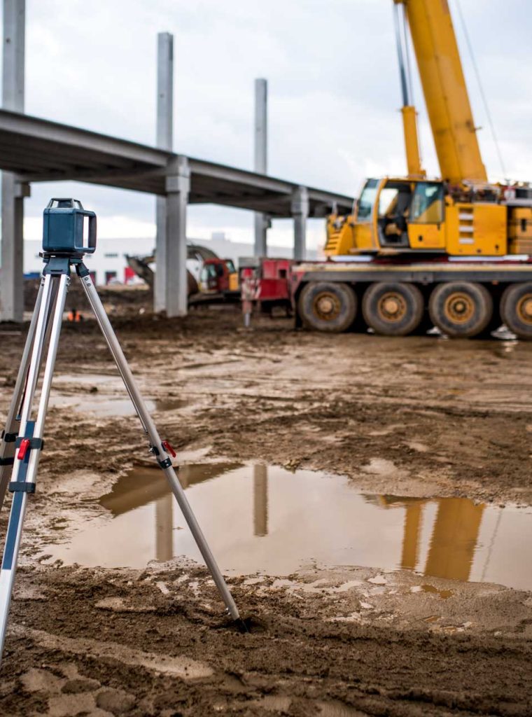
ETS/ DGPS- Our surveyors possess the expertise to conduct GPS and DGPS surveys for GIS mapping ensuring high levels of location accuracy. We conduct Ground surveys through Electronic Total Stations (ETS) and Differential Global Positioning Systems (DGPS) which offer precise and efficient methods for collecting topographic data in engineering projects. ETS is ideal for obtaining elevation, slope, and terrain characteristics, essential for road, highway, and bridge design. We use DGPS to determine position coordinates with centimeter-level accuracy, making it suitable for applications requiring high precision, such as boundary surveys and control point establishment. By using these methodologies together, ETS and DGPS we offer reliable tools for ground surveying, and efficiently gather essential data for planning, design, and construction phases of infrastructure projects while ensuring accuracy and precision.
Field surveys play a pivotal role in the planning, design, and construction phases of infrastructure projects, particularly in the realm of roads, highways, and bridges. Organizations rely on accurate and detailed survey data to make informed decisions, ensure safety, and optimize resources. VKSMS is well equipped to conduct different types of Surveys. Our team comprises of specialized field surveyors who are experts in conducting all types of surveys such as topography survey, GPS/ RTK survey, corridor survey etc. At VKSMS we provide field survey practices tailored to the needs of specific clients/ projects. This includes
VKSMS has a vast expertise in conducting GPS and DGPS based asset survey and transfer into the GIS Platform. Asset surveys are conducted by organizations which is aimed at cataloging and evaluating assets owned or managed by an individual/ organization. These assets can include tangible items like equipment, property, and infrastructure, as well as intangible assets such as intellectual property and financial investments. Asset surveys help in understanding the value, condition, and utilization of assets, enabling informed decision-making regarding maintenance, investment, and strategic planning. By conducting regular asset surveys organizations can optimize resource allocation, mitigate risks, and ensure efficient asset management practices.
Click to Chat